© Copyright 2023 PeopleSense™ | All Rights Reserved
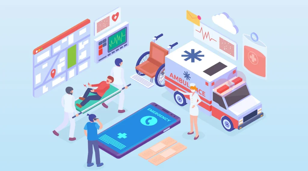
Emergency Services
PeopleSense delivers real-time situational awareness during emergencies — combining hazard alerts with live crowd intelligence to help responders prioritize, deploy, and act faster.
Challenges in Emergency Response
Optimizing Resource Allocation
- Efficiently deploy emergency resources based on real-time crowd data.
- PeopleSense enables precise resource allocation to areas with heightened emergency demand.
Ensuring Public Safety
- Enhance public safety by anticipating and managing crowd dynamics during emergencies.
- Our solutions contribute to creating safer evacuation routes and preventing overcrowding in critical areas.
Swift Decision Making
- Time is of the essence in emergencies.
- PeopleSense Real-time Crowding Solutions provide emergency services with immediate insights for rapid decision-making.


Why It Matters
Smarter Prioritization
Identify which populations are impacted first
Faster Response
Deploy to high-exposure zones without delay
Better Public Messaging
Push targeted messaging to vulnerable areas
Improved Safety Outcomes
Reduce casualties via proactive crowd movement
FEMA Incident Feeds — Mapped & Actionable
PeopleSense ingests FEMA IPAWS → EAS alerts via authenticated polling endpoints to provide actionable situational visibility on:
- Severe weather
- Tsunamis
- Wildfires
- Flooding
- Homeland security issues
When alerts arrive, PeopleSense:
- Maps alert polygons and zone
- Cross-references affected areas with live crowd occupancy
- Highlights priority regions for response & messaging
- Creates automated notification pathways
These enhanced overlays help emergency teams decide where and when to deploy specialized resources.
Earthquake Alerts, Enhanced With Crowd Context
PeopleSense integrates USGS ShakeAlert® Earthquake Early Warning (EEW) data directly into our dashboards. Incoming seismic alerts are mapped with projected shaking intensity (MMI), overlaid onto live occupancy distribution at impacted locations.
This enables emergency agencies to quickly:
- Identify high-density exposure sites
- Prioritize response to vulnerable facilities
- Alert staff & property partners
- Prepare coordinated evacuation
Real-Time Shake Maps
Mapped MMI zones overlaid with populations at risk
Impact-Area Occupancy
Know how many people are in affected geographies instantly
Dynamic Re-Evaluation
Updated as ground motion and occupancy evolve
OIP: Next-Generation Population Intelligence for Alerts
Traditional CAP 1.2 hazard alerts identify where ground shaking or hazards occur, but not who may be affected.
To address this gap, PeopleSense proposes the Occupancy Information Parameter (OIP) — a standardized data block that extends CAP messages with indicators such as:
- Occupancy Count(OC)
- Occupancy Density (OD)
- Occupancy Volatility (OV)
- Confidence Level (CL)
This enables emergency systems to receive not just hazard metrics, but dynamic human-context indicators, driving more efficient prioritization and resource allocation.
The OIP framework is compatible with:
- CAP 1.2
- GDACS
- International DRR & response guidance
Want to explore OIP or EEW integration?
Contact us to learn how PeopleSense can support emergency operations in your city, transit network, or agency.